

Plan. Burn. Prove. Hazard Reduction & Cultural Burn Monitoring. *
Plan. Burn. Prove. Hazard Reduction & Cultural Burn Monitoring. *
know your fire risk. map it. manage it. prove it.
Drone-based hazard reduction reporting, cultural burn monitoring, vegetation and fuel load mapping for landowners and agencies across the hunter region.
About
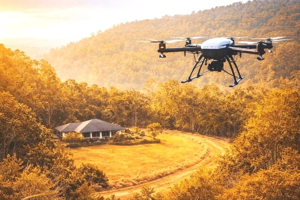
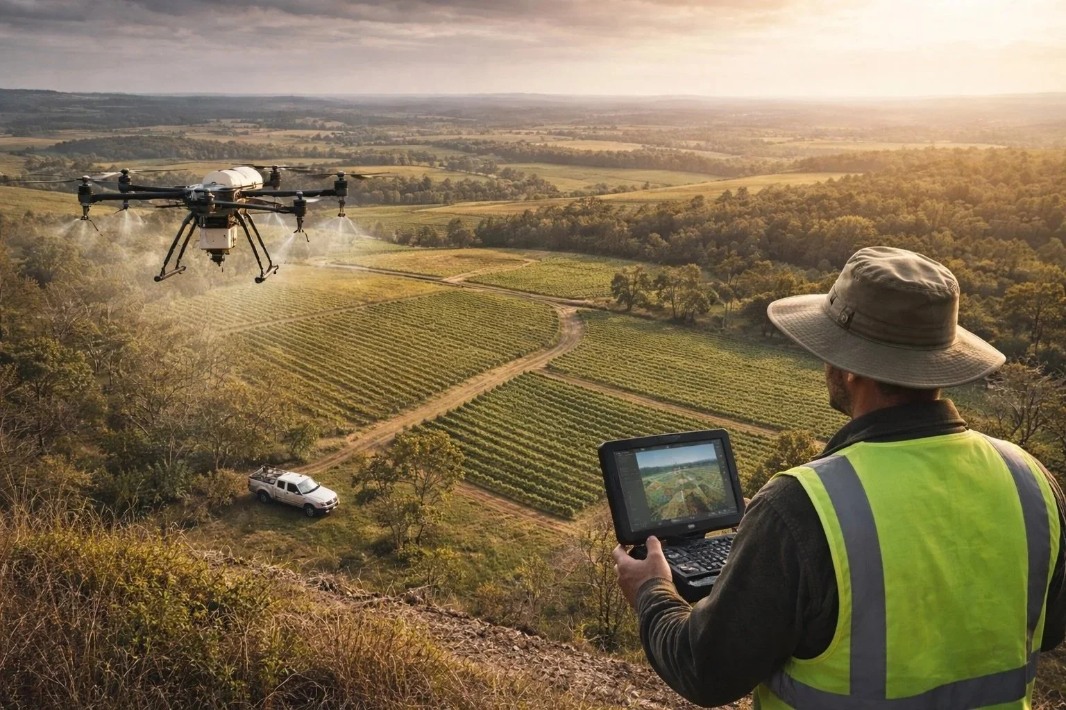
Hunter Aerial Services
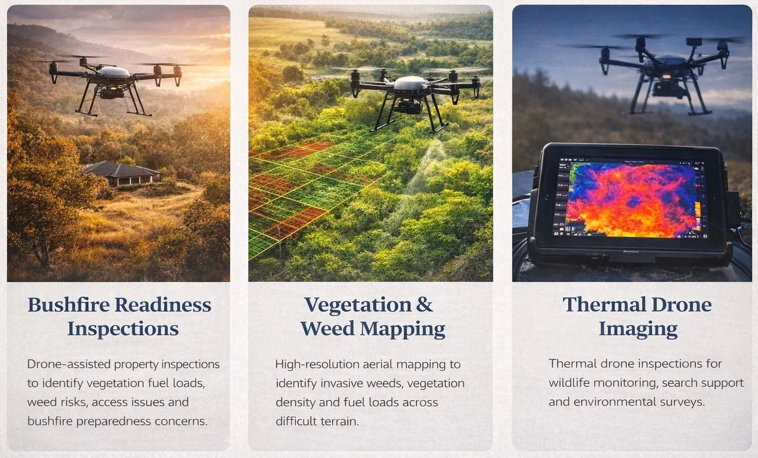
Hunter Aerial Services delivers professional drone-based bushfire readiness inspections, vegetation assessments and aerial data services across the Hunter Valley and surrounding regions of New South Wales.
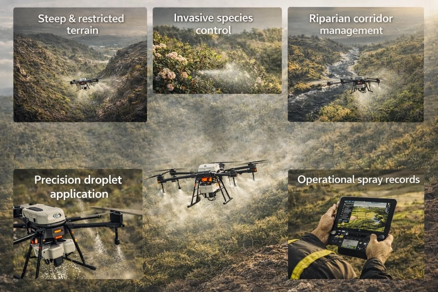
We specialize in aerial inspection and mapping of rural properties, helping landowners identify vegetation fuel loads, access constraints and potential bushfire risks — particularly across steep, restricted and hard-access terrain where traditional ground inspections can be difficult or unsafe.
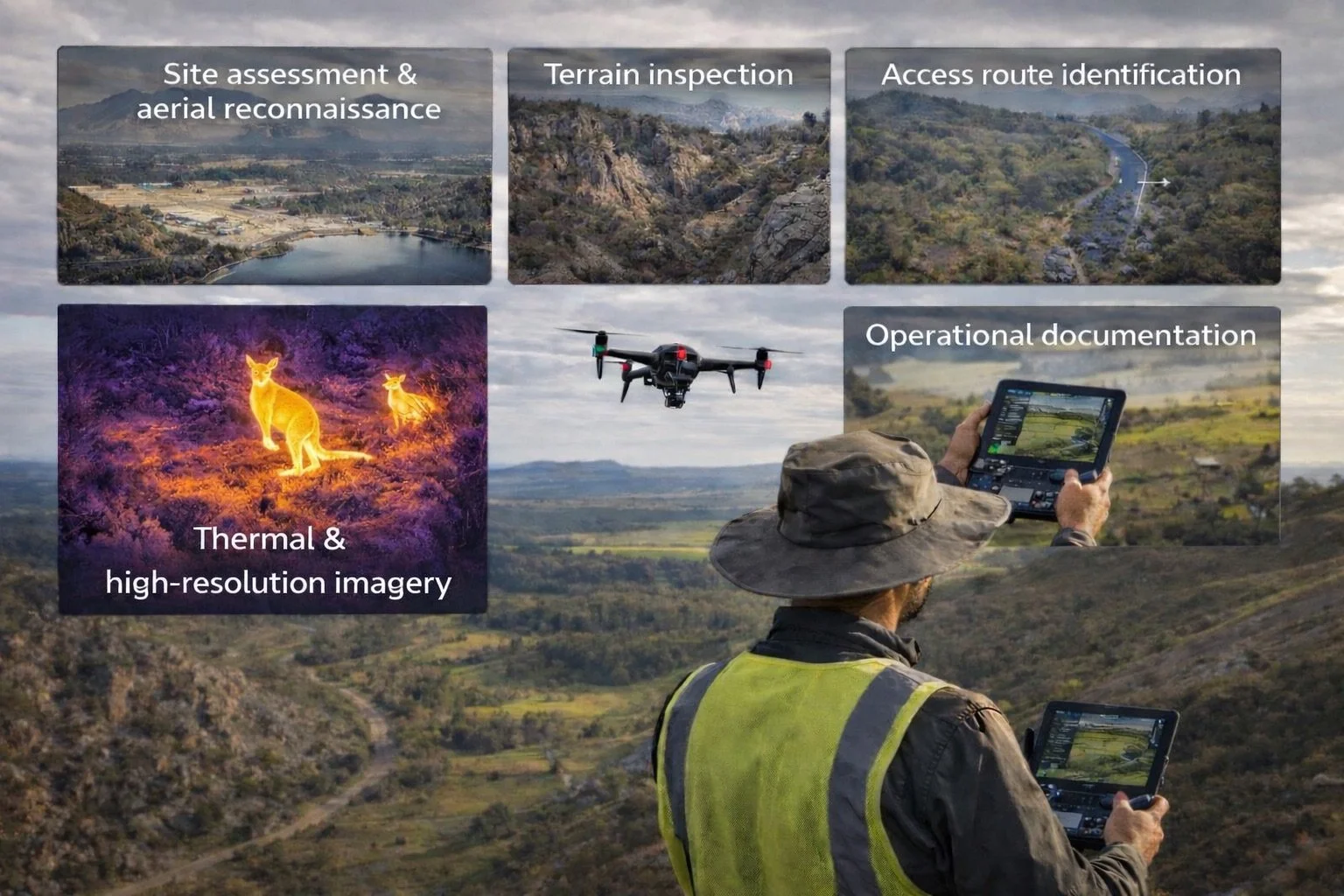
Our operations are designed to provide clear aerial visibility of vegetation conditions, fuel accumulation and property access, supporting practical planning for bushfire preparedness and land management.
As certified remote pilots operating in accordance with CASA regulations and applicable NSW legislation, we bring structured planning, risk assessment and compliance-driven execution to every deployment. Each inspection is supported by weather assessment, airspace review and documented operational procedures to ensure safe, accountable and professional outcomes.
Our services support rural landholders, lifestyle acreage owners, property managers and government agencies requiring aerial site inspections, vegetation reduction mapping, bushfire readiness assessments, hazard reduction support and cultural burn monitoring.
By combining high-resolution drone imagery, thermal capability and modern flight planning systems, we deliver efficient, accurate and reportable aerial insights to support bushfire risk management, hazard reduction programs and environmental outcomes.
At Hunter Aerial Services, we understand the challenges of complex terrain. From bushland properties and steep rural landscapes to large acreage holdings, our focus is simple — deliver clear aerial insights that support safer land management, hazard reduction and cultural burn practices.
Request property assessment
Need a drone-based bushfire readiness inspection, Hazard reduction assessment, vegetation or fuel load mapping for your land or property.
Submit your property details and we’ll review your site and recommend the most suitable inspection, reporting or monitoring approach.
We work with landowners, property managers and agencies requiring clear, actionable insights for bushfire risk, hazard reduction, cultural burn and land management.
All enquiries are obligation-free.